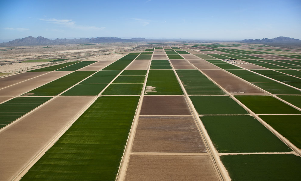
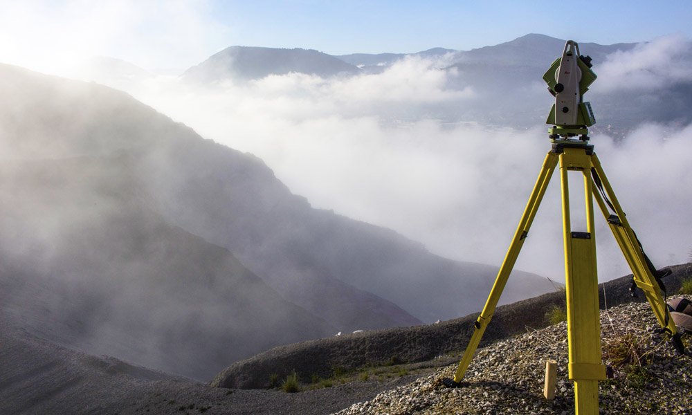
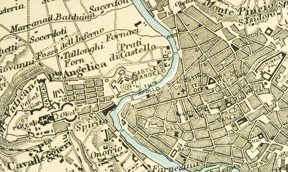
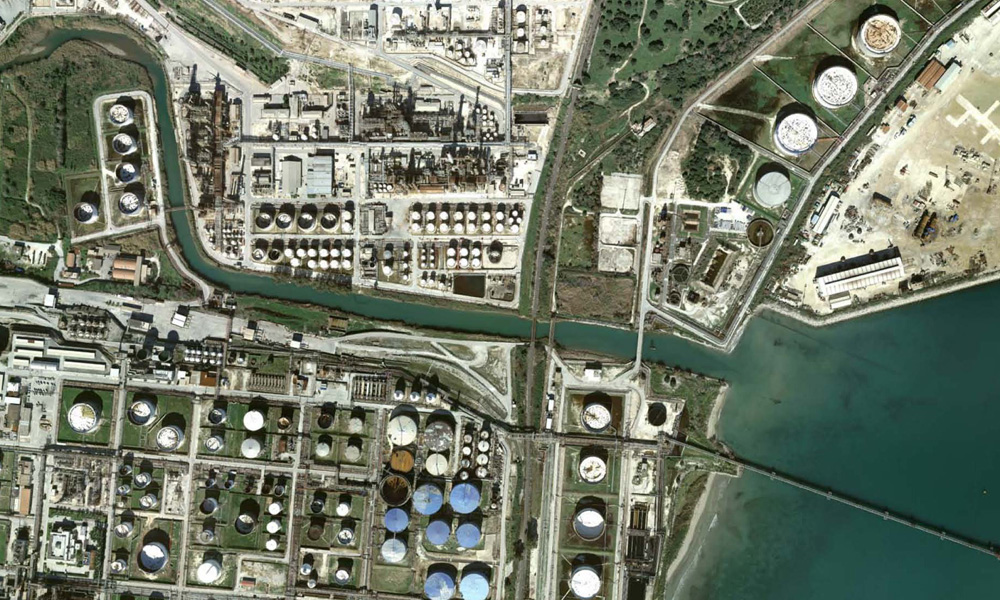
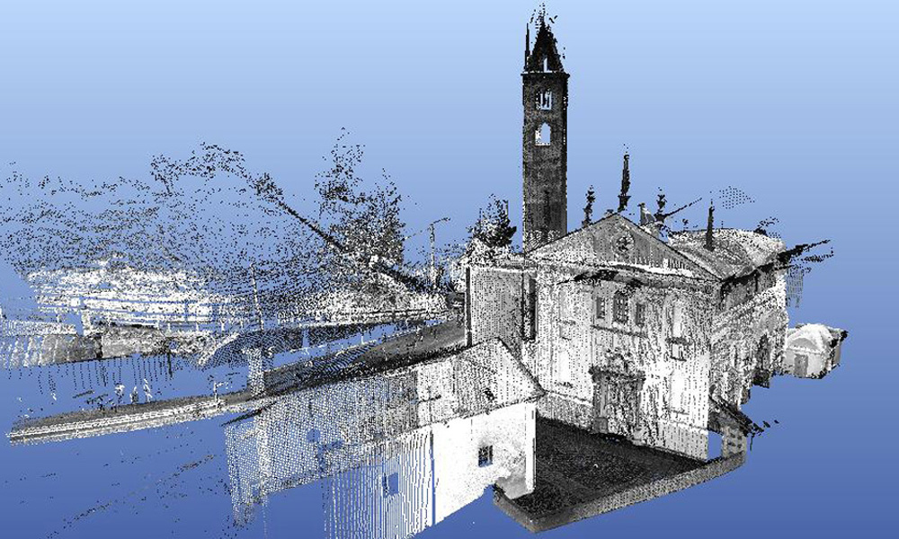
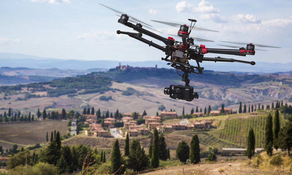
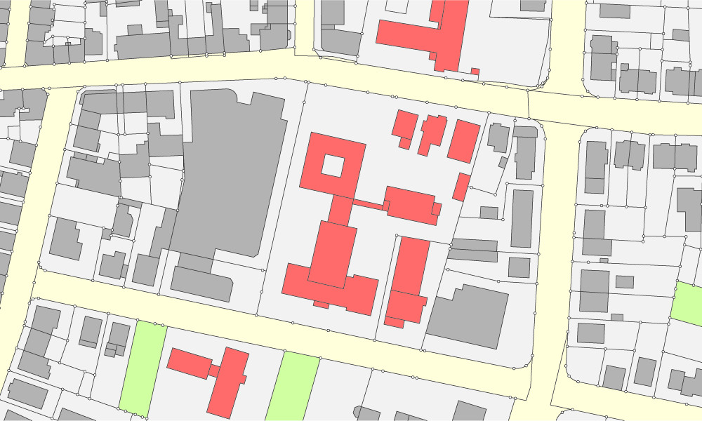
SERMA S.r.l. is a modern company which operates within scope of Territory Engineering and, more specifically, in geo-topographical, photogrammetric, cartographic areas and architectural, infrastructural and environmental surveys.
The experience performed in more than thirty years of activity, together with collaboration of highly-skilled technicians in various operational fields, allows Company to better respond to customer needs and to offer innovative solutions with the latest technologies.
Staff comprised of geodesy, topography, architecture and engineering experts, CAD / GIS technical editors, in addition to a network of highly trustworthy experts.
Equipments and hardware and software resources utilized are owned by Company, which constantly updates all equipment and closely monitors technological developments in different subject areas.
Upon specific requirements, softwares are developed in order to obtain the best possible technical performance in terms of quality and time-saving.
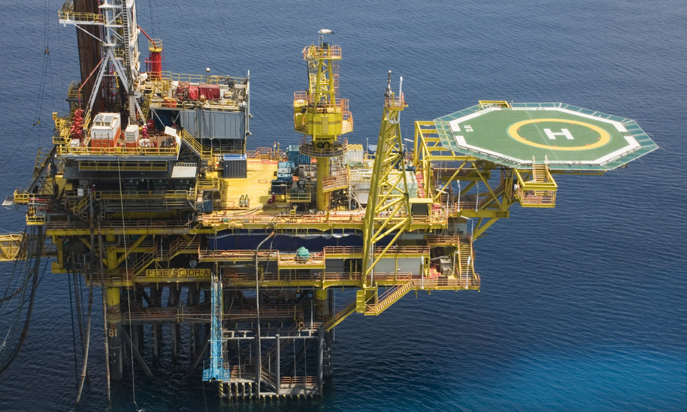
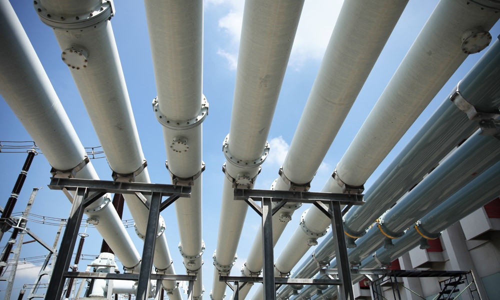
Ability to relate to a various customers allows SERMA S.r.l. to be a reference point for Italian Public Authorities and Italian and international privately-owned companies operating in trade of territory and landscape management, infrastructure planning, industrial, naval and oil and gas construction and facilities.
SERMA S.r.l. is registered in Supplier Registers of major Italian companies.
In 1998 SERMA S.r.l. was one of the first Italian companies to adopt Quality Management System under the UNI EN ISO 9001:2015UNI EN ISO 9001:2015 international standard, which it still observes during design, supervision, geotopography, photogrammetry, map-making and editing (EA Code 34).
The company is in possession of the Environmental Management System certificate in accordance with the international standard ISO 14001: 2015.
